Skip to main content
Log in
Advanced Search
Home
About
Dr Mick Morrison
Join
Contact Us
Browse
Add to collection
Items
Created
Resource class
Title
Ascending
Descending
Sort
Advanced search
Proper History Project August 2024 Report and Update
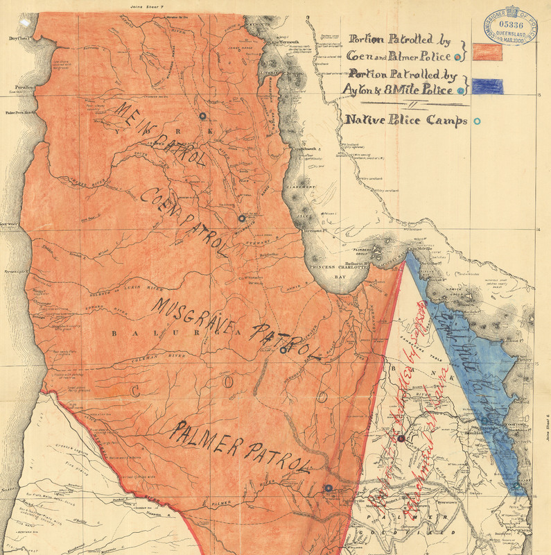
Native Police Camps - Coloured Plan of Portion Patrolled by Coen & Palmer Police, Portion Patrolled by Ayton & 8 Mile Police (from Police stations - Laura
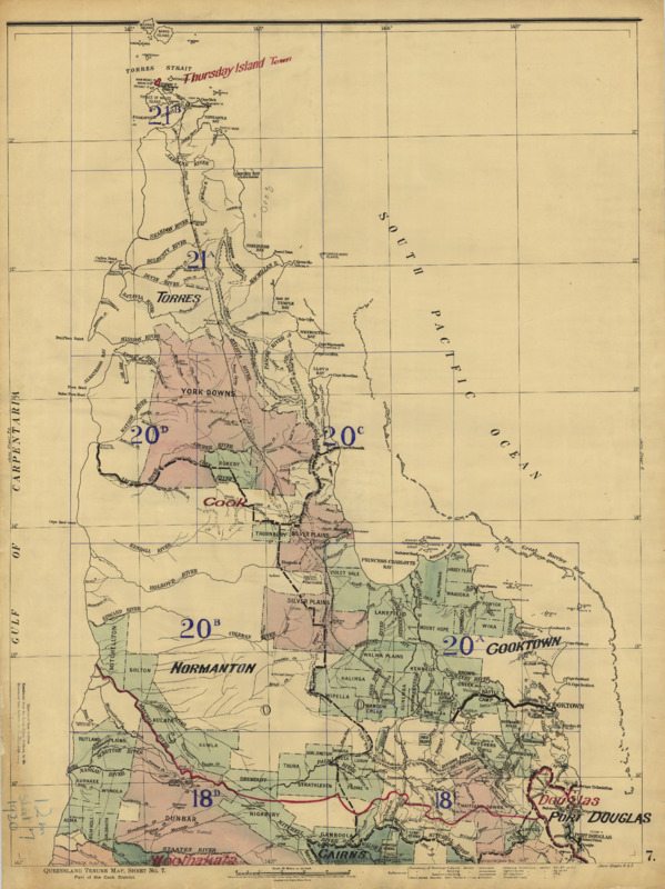
Queensland land tenure map. Part of the Cook District. Sheet 7. 12 miles to an inch. Survey Office, Brisbane.
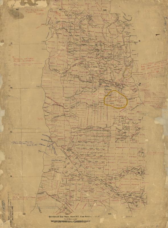
Queensland Run Maps, Sheet No 7, Cook District.
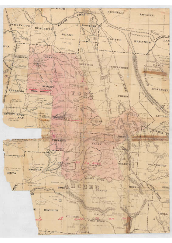
York Downs Holding - Scale: 4 miles to an inch (from York Downs, Cook)
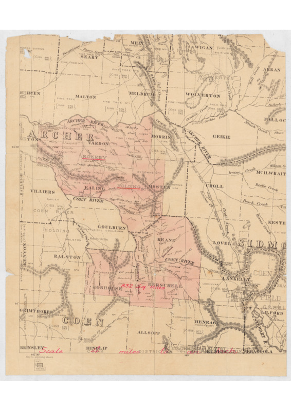
Rokeby Holding - Scale: 4 miles to the inch (from Rokeby, Cook)
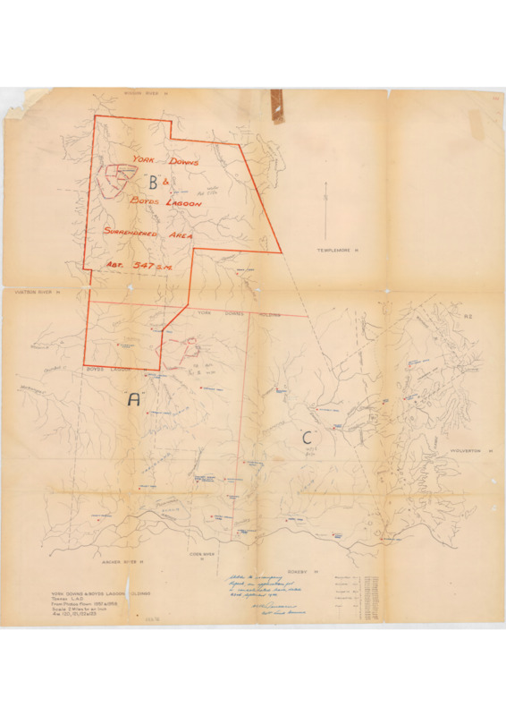
York Downs and Boyd's Lagoon Holdings, Toerres L.A.D. - Surrendered Area (from York Downs, Cook)
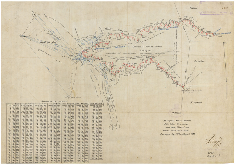
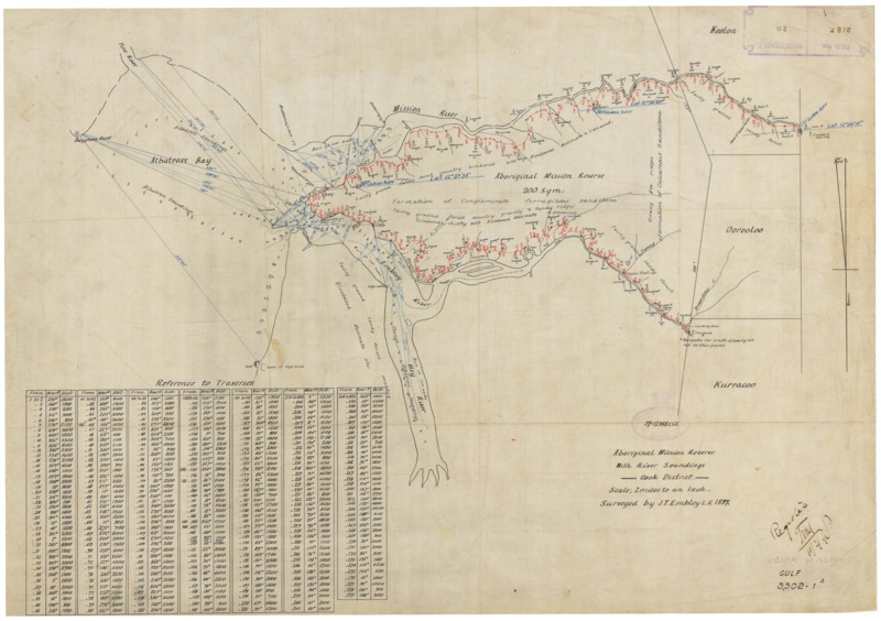
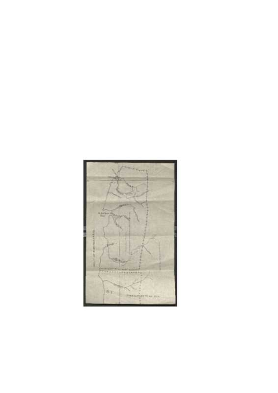
Aboriginal Mission reserve with river soundings, Cook District
Weipa Mission
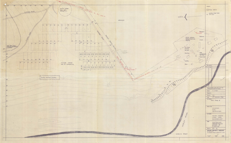
Housing for Aborigines, Weipa Mission Cape York Queensland - Site Plan B
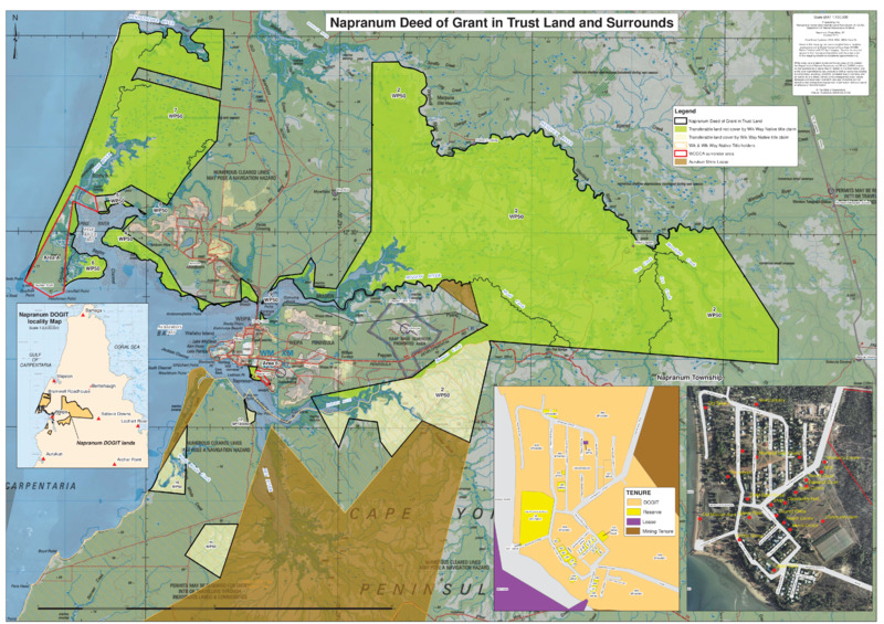
Napranum Deed of Grant in Trust Land and Surrounds
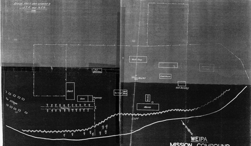
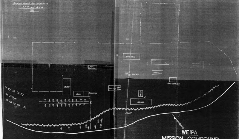
Weipa Mission Compund
Weipa Mission Compound [low resolution copy]
Cape York Telegraph Line Extension - First Section From Coen to Mein - Compiled by J.R. Bradford Inspector of Lines S.D. (Sheet 3)
Cape York Telegraph Line Extension - Second Section From Moreton to Mein - Compiled by J.R. Bradford Inspector of Lines S.D. (Sheet 3)
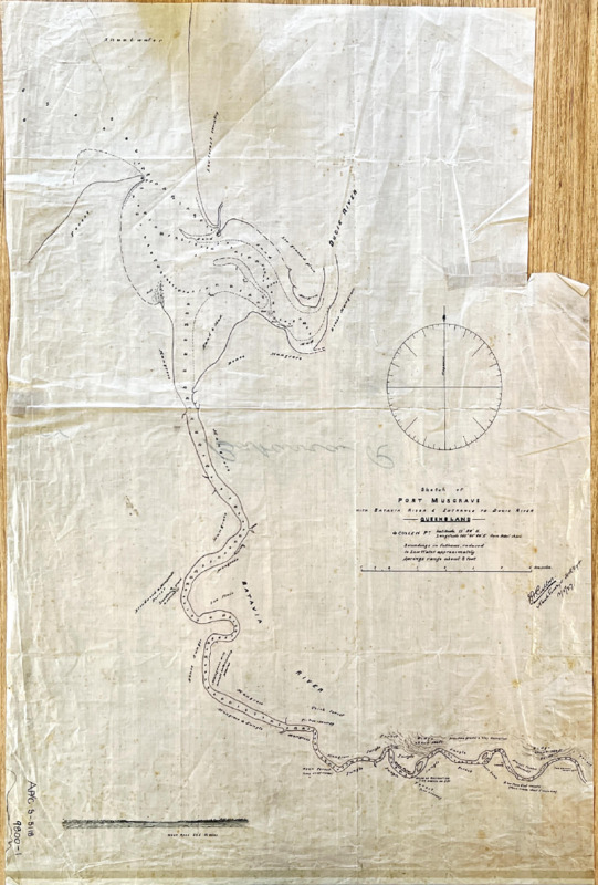
Sketch of Port Musgrave with Batavia River and entrance to Ducie River
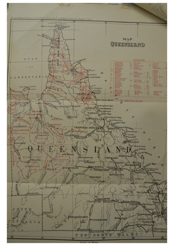
Map of Queensland (to accompany Report on the North Queensland Aborignes and the Native Police)
Map of the coast of North Queensland with the locations of Moravian missions
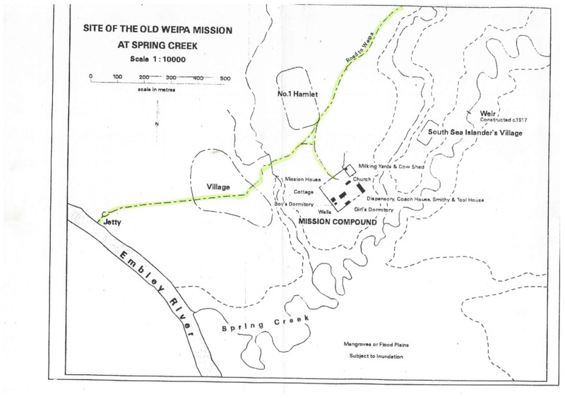
Site of old Weipa Mission at Spring Creek
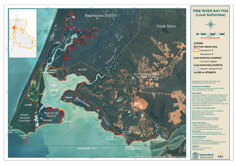
Pine River Bay FHA (Local Authorities)
Showing 1 to 20 of 20 results